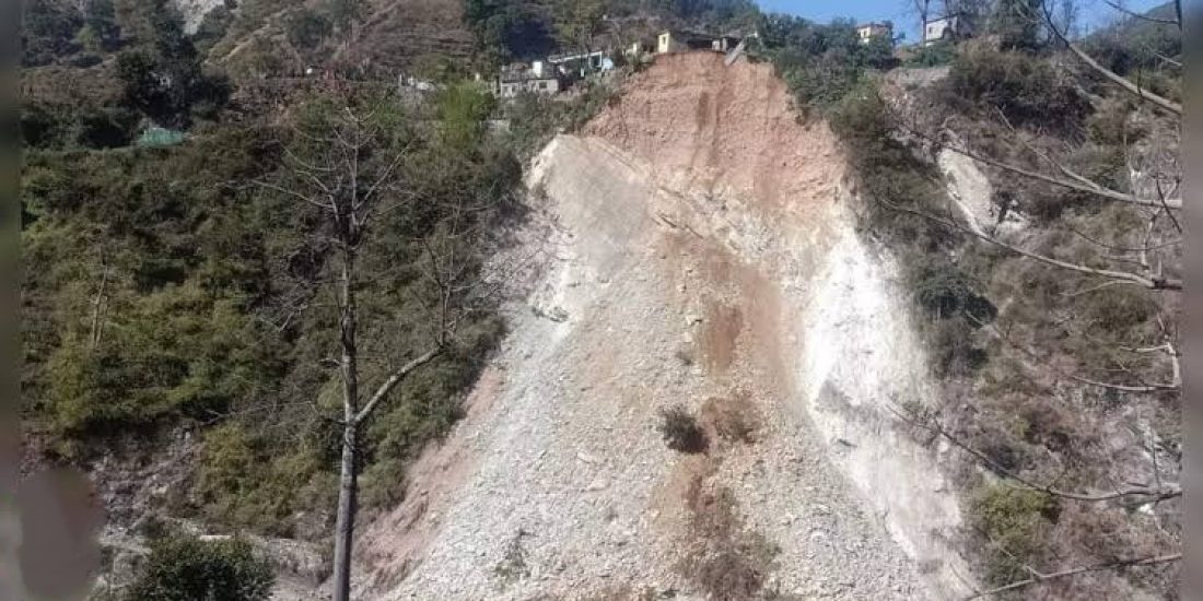
According to the ‘Landslide Atlas’ research created by Hyderabad-based National Remote Sensing Centre (NRSC) of Isro, the two hill districts of Rudraprayag and Tehri in Uttarakhand have the “highest exposure to landslide risk in the country”.
According to the District Emergency Operation Center, Rudraprayag has 32 chronic landslide zones, with the majority of them on the road leading to the holy town (NH-107). Likewise, Totaghati, which has been designated as a “extremely chronic landslide location,” is included in Tehri. Of the 147 landslide-prone districts across the nation, Rudraprayag and Tehri have been named first and second, respectively. In position 19, Chamoli, which is home to Joshimath, a city affected by subsidence,
Rudraprayag’s district disaster management officer, NK Rajwar, stated on Thursday, “The most troublesome landslide zones are in Sirobagad and Narkota, where activity lasts virtually the entire year. Maximum landslide zones, however, become active during the monsoon season.”
According to NK Rajwar, the district disaster management officer for Rudraprayag, “Since they are active practically all year long, the landslide zones in Sirobagad and Narkota pose the greatest threat. Yet, the monsoon season is when the highest landslide zones are activated.”
Furthermore, it states that “nearly 11,000 landslides were documented in Uttarakhand in the last two decades” and lists the most prone roads as Pithoragarh-Khela-Malpa, Rudraprayag-Ukhimath-Kedarnath, Chamoli-Ukhimath, and Rishikesh-Uttarkashi-Gangotri-Gaumukh.

Image Source: Times of India
Top 147 Districts at Risk for Landslides: Rudraprayag and Tehri Isro
- ✦ d'Nation
Post Score: NA/5
NA/5
NA/5
NA/5
Topic & Research
Creativity & Uniqueness
Timeliness & Social Impact
Score available after assessment. Please check back later.


-650bf840381ae.jpeg)


-6501f59117783.jpeg)
